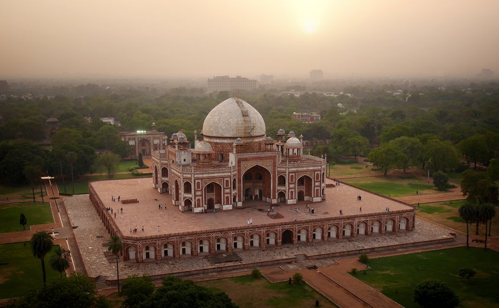
Interesting articl, made even more interesting with the aid of the drone.
Extreme Photo of the Week 2016
National Geographic's photo of the week, captured by drone.
Beautiful Drone Photography
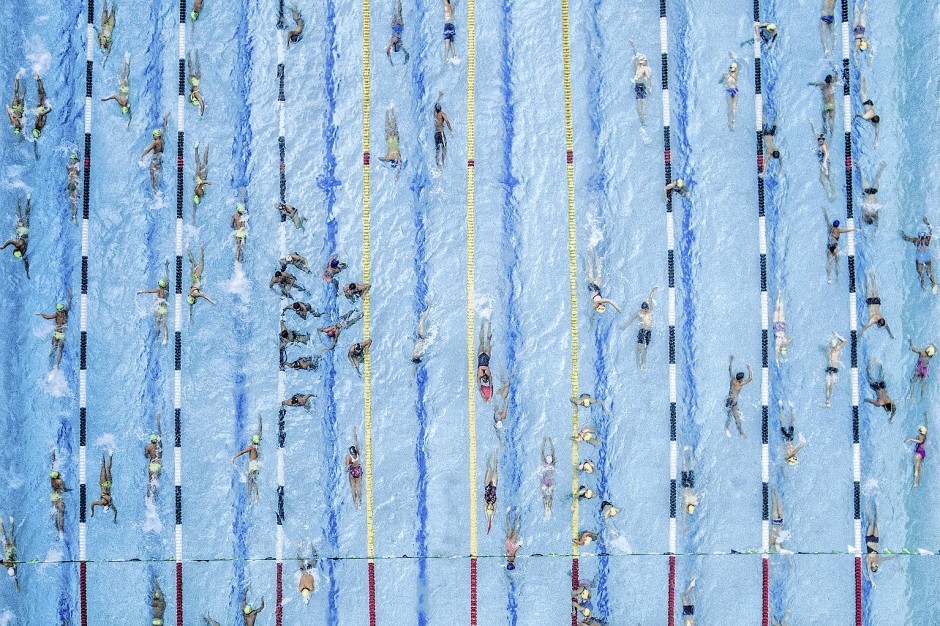

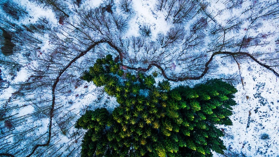

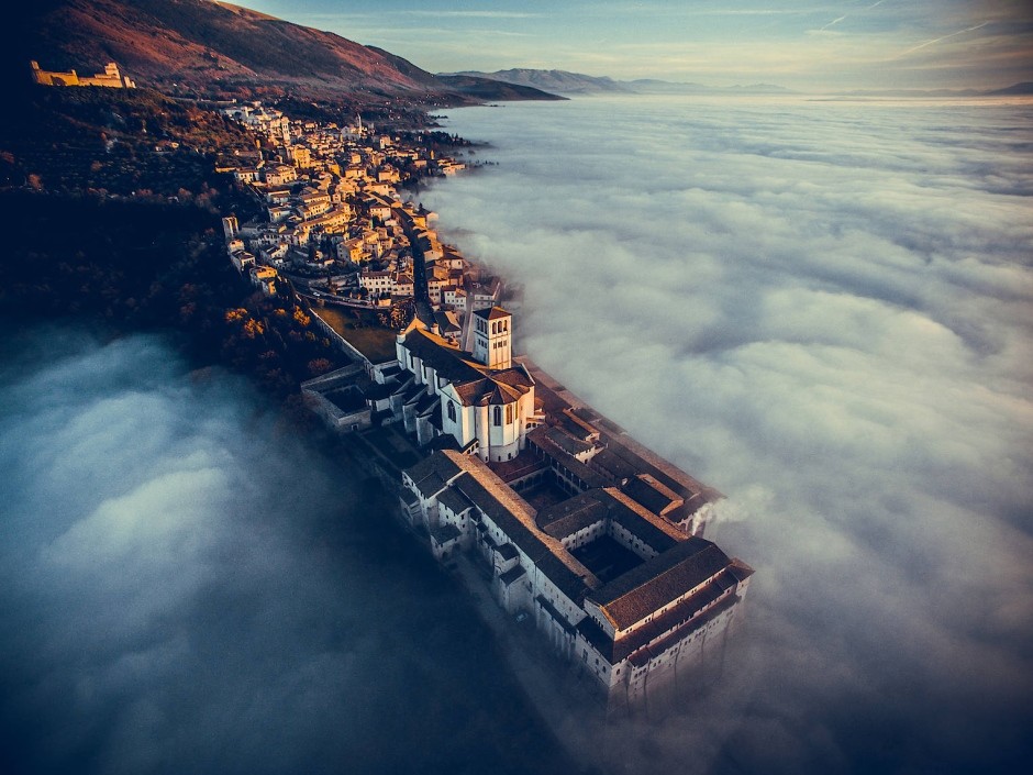

Explore Beautiful European Castles by Drone
Drones allow us to see the world the way they do, peacefully and beautifully from above, and it turns out their view of castles and palaces are even more stunning than what we can see from the ground.
The places included are:
- Castle of Almourol (Tagus River, Vila Nova da Barquinha, Portugal)
- Bled Castle (Lake Bled, Slovenia)
- Blenheim Palace (Woodstock, Oxfordshire, England)
- Dvigrad Castle (Istria, Croatia)
- Ehrenberg Castle (Reutte, Tirol, Austria)
- Hohenwerfen Castle (Salzach valley, Werfen, Austria)
- Khotyn Fortress (Dniester River, Khotyn, Chernivtsi Oblast, Ukraine)
- Landskron Castle (Villach, Carinthia, Austria)
- Neuschwanstein Castle (Hohenschwangau, Füssen, Bavaria, Germany)
- Predjama Castle (Postojna, Predjama, Slovenia)
- Castle Stalker (Port Appin, Argyll and Bute, Scotland, United Kingdom)
There’s something quite poetic about using modern technology to find a new way to appreciate old, beautiful buildings.
Drone Through a Live Fireworks Display
Not exsactly leagal if you dont have an exemption but wait until you see what it looks like from up there. You’ve NEVER seen fireworks like this before!
Porsche and a Drone
Beautiful video featureing a 1979 Porsche 911SC Targa by drone. Heres looking at you @SweetCars
What’s Missing from the New Drone Regulations
Last week, we had the much-anticipated Part 107 drone regulations, which will supersede the current exemption process and is estimated by the FAA to eliminate 85 percent of the present exemptions to drone piloting.
Notably, the new rules replace private pilots at every flight with operators that have passed a less-strenuous and less-expensive aeronautical knowledge test.
Drone Precision Sprays Pesticides on Crops
Drones are a tool of precision. Flying overhead, their cameras scan for targets. The agri-drone is a small-scale adaptation of the same premise. Developed by researchers at Japan’s Saga University, the agri-drone scans crops for clusters of bugs, and then delivers a precision dose of pesticide to the plant-eating critters below.
Read More on Popular Science
Drone Racing Could Spur Innovation
Drone racing is a sport still in its infancy. It is not yet clear whether it will become a massively popular sport. If it does, we could see very exciting advances coming from drone racing into both the toys that we fly in our living rooms and parks and into the drones used by professional videographers, engineers and scientists.
Landscape Photography by Drone

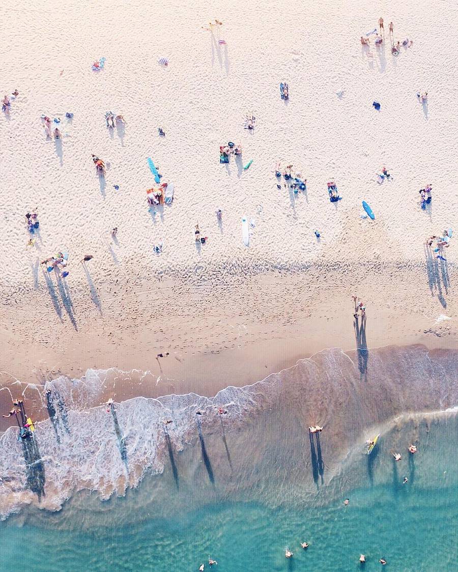
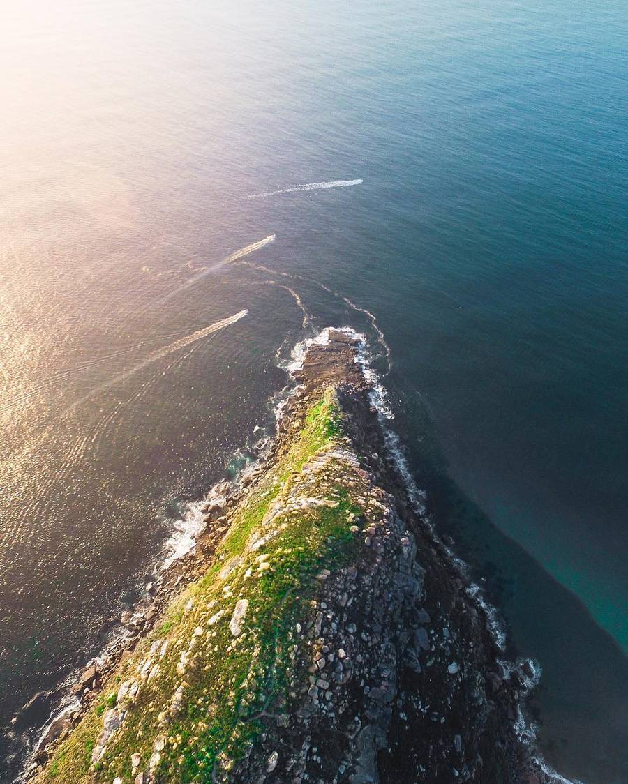


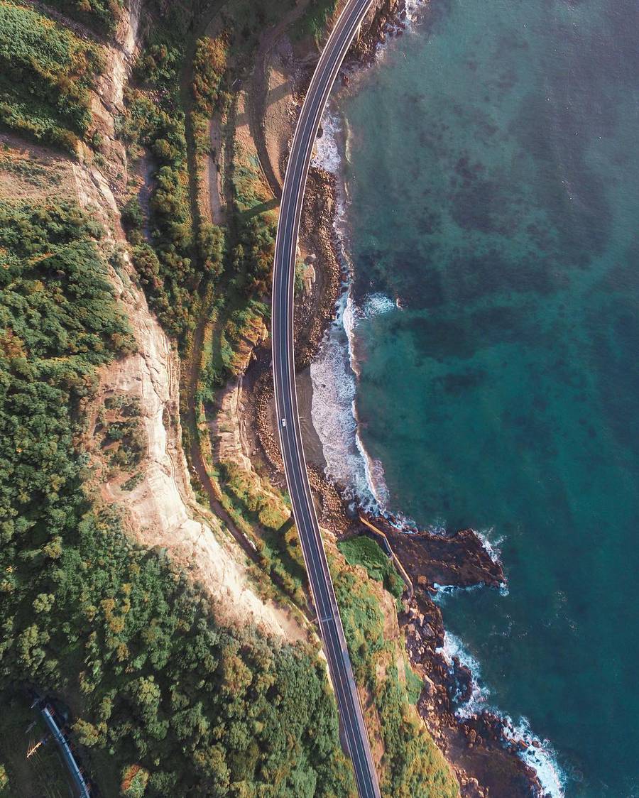
Beautiful landscape photography by drone.
Incredibly Beautiful Church by Drone
Neo Byzantine church captured by drone.
FAA Small Commercial Done Rule is Out
This should make it a hole lot easier to operate a commercail drone business leagaly.
https://www.faa.gov/news/press_releases/news_story.cfm?newsId=20515
FAA Leak
Could be a big day tomorrow for Drone regulation.
Sunny Coast East Coast Low Swells by Drone
Drone shot over one day at Sunshine Beach during the epic East Coast low swell.
Rare Whale Footage by Drone
Unique footage of a Bryde’s Whale has been released today by Auckland University of Technology. The footage shows an adult whale feeding, briefly joined by a young calf, and was filmed from a drone off the coast of Auckland. It is thought to be the first time the feeding behaviour of a Bryde’s Whale has been recorded by an Unmanned Aerial Vehicle (UAV).
Growers and Drone Mapping
Growers are using drone mapping in so many ways — for crop scouting, to generate variable rate prescription maps, to compare soil data to plant health, and much more. At the core, drone mapping helps growers detect variation in their fields.
Being able to see variation not only helps growers diagnose problems, but also helps them evaluate whether solutions are working. Using drone mapping on both fronts to help demonstrate the value of their products and boost sales.
Top 10 Drone Photos Shared on 500px
10. Serpentine by Cliq asbl
9. Point of Ayr by James Farley
8. To the Dunes by NaSseT Alomari
7. Krakow – Poland [old city] by Adam Brzoza
6. Cabo San Lucas, Mexico by Romeo Durscher
5. Downtown Dubai by Alisdair Miller
4. Sunrise at Cheow Lan Lake, Thailand by Kaupo Kalda
3. Beyond The Vatican by Elia Locardi
2. A Man In a High Castle by Slava Mylnikov
1. Droneshot Over Iceland by Stefan Forster
#NYCDFF 2016
The New York City Drone Film Festival represents the best drone cinema in the world.
Thanks to all the amazing filmmakers who's work serves to guide the amazing art of aerial cinematography.
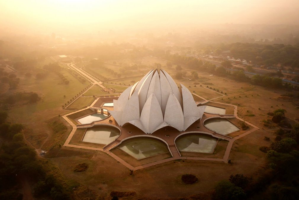
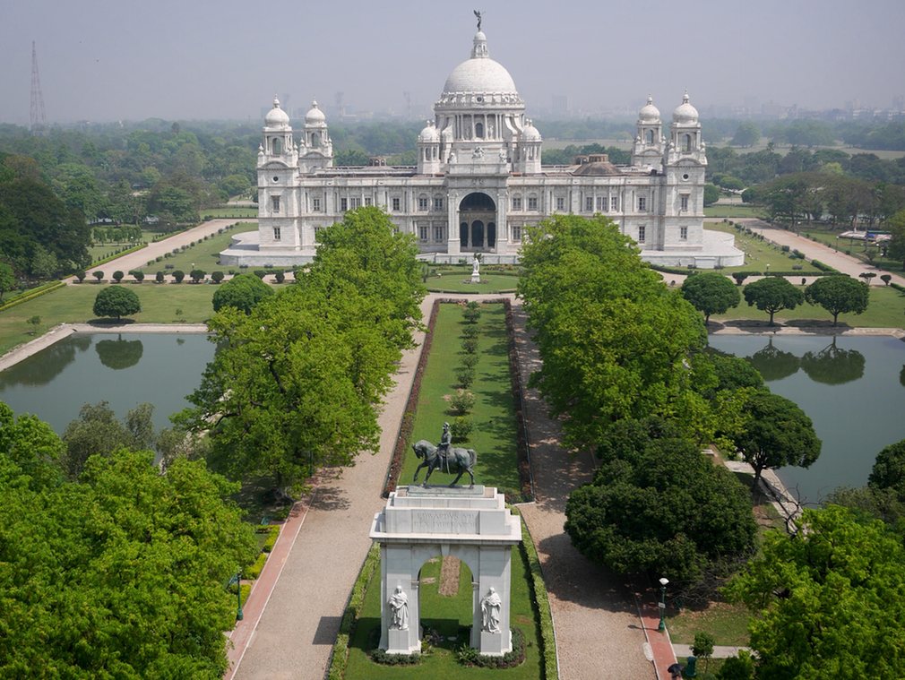
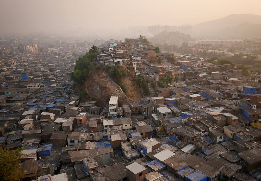
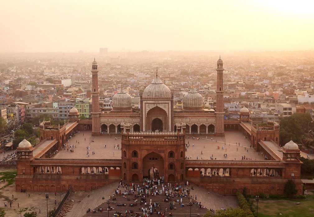
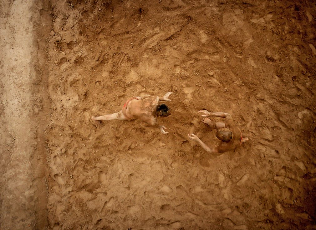
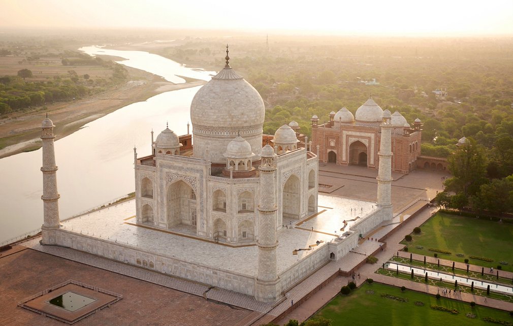
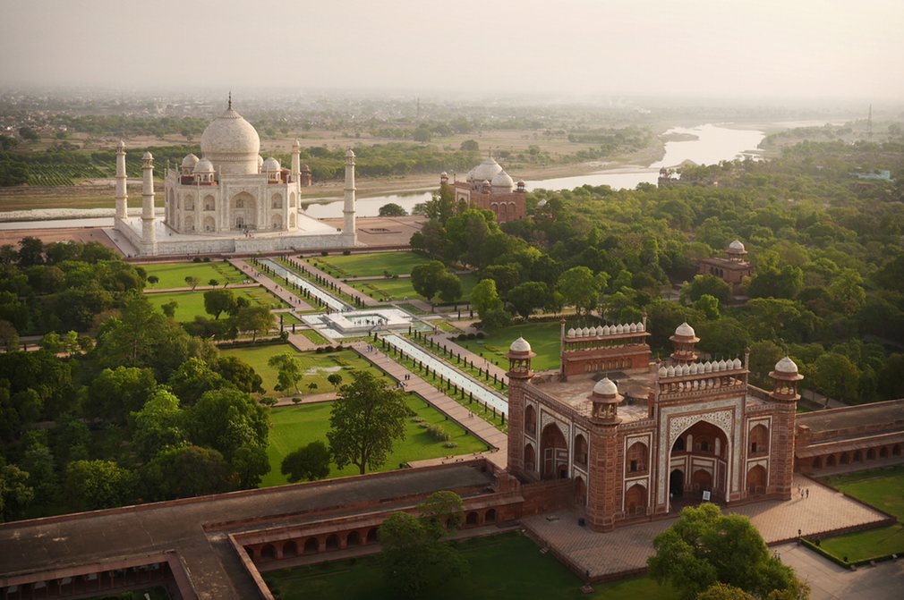
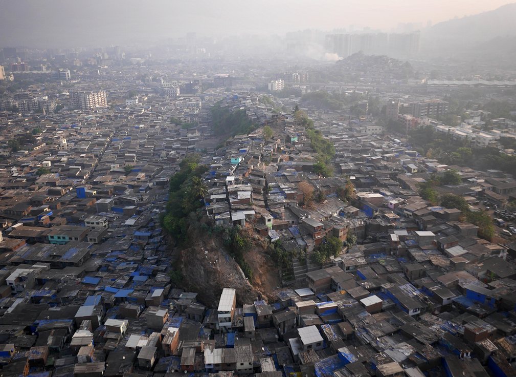
Aerial Views of India by Drone - In Pictures
Photographer Amos Chapple's remarkable aerial views of India were shot by attaching his camera to a 'quadcopter' drone
Nintendo Power Glove Controling a Drone
This repurposed Nintendo Power Glove allows users to control drones with a flick of the wrist.
Engineering student Nolan Moore described the goal of the Power Glove as "to revamp the 1989 Nintendo Power Glove with modern sensors and wireless communication, giving you the ability to use gesture and motion controls with almost anything you can think of, in style."
Moore reengineered the glove, taking out its original electronic system and replacing it with a home-built one.
Via Wi-Fi, Moore can control a drone by moving his hand. Holding his hand flat, palm facing the ground, makes the drone hover, making a fist and tilting it in any direction affects "pitch and roll" and pointing a finger up or down affects altitude.
Moore is tracking the development of the project on his Hackaday page.


